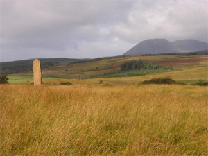
| Arran is sometimes referred to as "Scotland in miniature." The Highland Boundary Fault bisects the island, so the northern part is mountainous and the southern part of the island is more gently rolling. It is home to numerous archaeologically and historically significant sites, as well as being home to "Hutton's Unconformity." In 1787, geologist James Hutton noticed a change in the angle of the rocks where 600 million year old grey-green Cambrian schist dips and is overlain by young red Devonian sandstone (200 million years younger!). This observation helped Hutton work out his theories about the age of the earth. Lochranza Castle is here as well, and it is thought that Robert the Bruce landed here in 1307 at the start of his campaign for independence. |
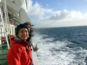
A6. (left) On the Cal-Mac ferry to Brodick, Arran. Laura looking not a bit seasick
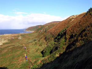
A7. (above) Hiking along the west coast of Arran, on the way to the King's Cave.
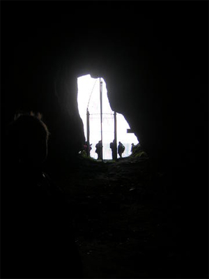
A2. (right) The view from inside King's Cave. Prince Charlie allegedly lived here while hiding from the English army. |